Kyoto was founded in 794 and built in close imitation of Chang’an, the Chinese imperial capital at the time (modern Xi’an). Its streets are laid on in a grid, running straight north-south or east-west. The east-west streets, moreover, are numbered from one to nine, giving a good sense of orientation and structure.
Before I describe the nine major streets or jo, you will need to learn the numbers. Here they are:
1= ichi; 2 = ni; 3 = san; 4 = shi (or yon); 5 = go; 6 = roku; 7 = shichi; 8 = hachi; 9 = ku (kyu); 10 = ju.
These basic numbers are then combined with hundred (hyaku), thousand (sen), and ten thousand (man) to make up larger figures: 120 = hyaku ni ju or 100/2/10. 2253 = ni sen ni hyaku go ju san or 2/1000/2/100/5/10/3. Y 30,000 (or US $300) = san man en. You get the idea.
Going from north to south, Ichijo (First Avenue) is located one block south of the confluence of the two rivers, the larger Kamo (NW) and the lesser Takano (NE). Right near there is a station called Demachi Yanagi, the underground endpoint of the private railway line Keihan (Kyoto-Osaka) which connects into downtown Osaka and which we will take as part of our trip from the airport.
Demachi Yanagi is also the starting point of trains going north into the mountains, notably to Kurama (Monday). A small above-ground country train called Eiden (Hiei Electric), whose drivers talk to the engines as they go, runs from here through suburbs and scenic valleys.
To the east Ichijo connects into Kyoto University and, as you go farther to the eastern mountains, reaches to the Silver Pavilion and Mount Daimoji (Wednesday). To the west, it borders the Gosho (Imperial Palace), where we go to see the Festival of the Ages on Friday. The Palace is a big public park, well guarded but not used except for coronation ceremonies and other major affairs of state. Buildings are usually closed, but it is possible to gain access with a special permit (apply with passport at the Imperial Household Agency a day or two ahead of time; no fee).
Nijo (Second Avenue) is a few block south of Ichijo. It is the site of the east-west line (Tosei-sen) of the city subway (Chika tetsu—earth/under/railroad). The subway also has a north-south line underneath Karasuma Avenue, called Karasuma-sen (sen means “line”).
Nijo is a small street with some antique and furniture stores in the center of town. To the east, it connects to Heian Shrine, Nanzenji, the Zoo, the Municipal Museum, and the Kyoto Handicraft Center, another possible excursion goal. To the west, it has Nijo Castle, a big complex built by the Tokugawa shoguns for their stay in the old capital which we will see on Friday. The emperor at the time resided in one of his villas (Shugakuin, Katsura), today accessible by special permit.
Beyond Nijo Castle, there is Nijo Eki (station), part of the JR (Japan Rail) line toward the northwest coast. JR is the main railway system of the country. Losing too much money in the 1980s, it was split up into regional parts and privatized. Kyoto is part of the Kansai (west of the pass) region, as opposed to Kanto (east of the pass, the Tokyo area). We will get to use this line on Saturday, when we walk along the gorges of the Hozu River.
Sanjo (Third Avenue) is the beginning of downtown. It has a major station of the Keihan line as well as a big bus station. West of the Kamo River, Sanjo intersects with Kawaramachi (River Road), the main north-south thoroughfare. West of there, it becomes a pedestrian arcade, from which further north-south roads branch off. This is a great area for downtown shopping and eating. It is the heart of the city.
Shijo (Fourth Avenue) marks the south end of downtown and its intersection with Kawaramachi is the endpoint of another private railway to Osaka known as Hankyu (Osaka Express). On the east, Shijo ends at the foot of the eastern mountains with Yasaka Shrine, the residence of the city god, where we will pay our respects first thing on Friday. Beyond the shrine is a public park, where concerts are held in the summer and people enjoy their leisure. Winding through the eastern mountains are many narrow traditional streets, lined with shops of pottery, clothing, cookies, and souvenirs. We explore those after visiting the shrine.
Parellel to Shijo, a little bit to the north, is another, narrower pedestrian shopping arcade. This is Nishiki-agaru, the main food vendors market in the center of the city. Speaking of food, make sure you go into the basement of one or the other department store to see the incredible food selection there!
Gojo (Fifth Avenue) is a large, multi-lane highway which is also Route 9 and connects to points east and west of Kyoto. On its level in the eastern mountains is Kiyomizu dera (Pure Water Temple), a Buddhist institution which we visit on Friday. Many pottery shops line the road toward the temple. We stay just south of it near the river.
Rokujo (Sixth Avenue) is a small neighborhood alley with various minor temples and shrines.
Shichijo (Seventh Avenue) is one short block north of Kyoto Eki (Station), the main railway station and a spectacular new building with amazing architecture. Toward the east. Shichijo has the Kyoto Museum of Art (Bijutsukan) with its spectacular collections and several important Buddhist temples, including Sanjusan gendo (sanjusan is a number—do you know which one?), honoring the different forms of the bodhisattva Kannon.
Toward the city center, Shichijo is the southern edge of two major True Pure Land (Jodo shinshu or Shin Buddhist) temples, the eastern (higashi) and western (nishi) Hongan ji (Temple of the Original Vow), so named after the vow the Buddha Amida (Amitabha in Sanskrit) made to save humanity. The temples function as headquarters of this largest Japanese Buddhist sect and are accordingly busy. They, as well as the museum, might make another nice excursion goal.
Hachijo (Eighth Avenue) represents the southern boundary of Kyoto Station. The southern end of the station also houses a private line connecting to Nara and points southeast (like Ise). It is called Kintetsu, after Kinki, a historical name for the Kansai region. Going to Nara is a good way to spend your free day. The ride takes about half an hour and goes through rice cultivation farm land, spotted with mounds that all contain the remains of ancient Japanese emperors but have, for the most part, never been excavated. Other than that, Hachijo is of little interest. It has department stores and high-rise apartment buildings.
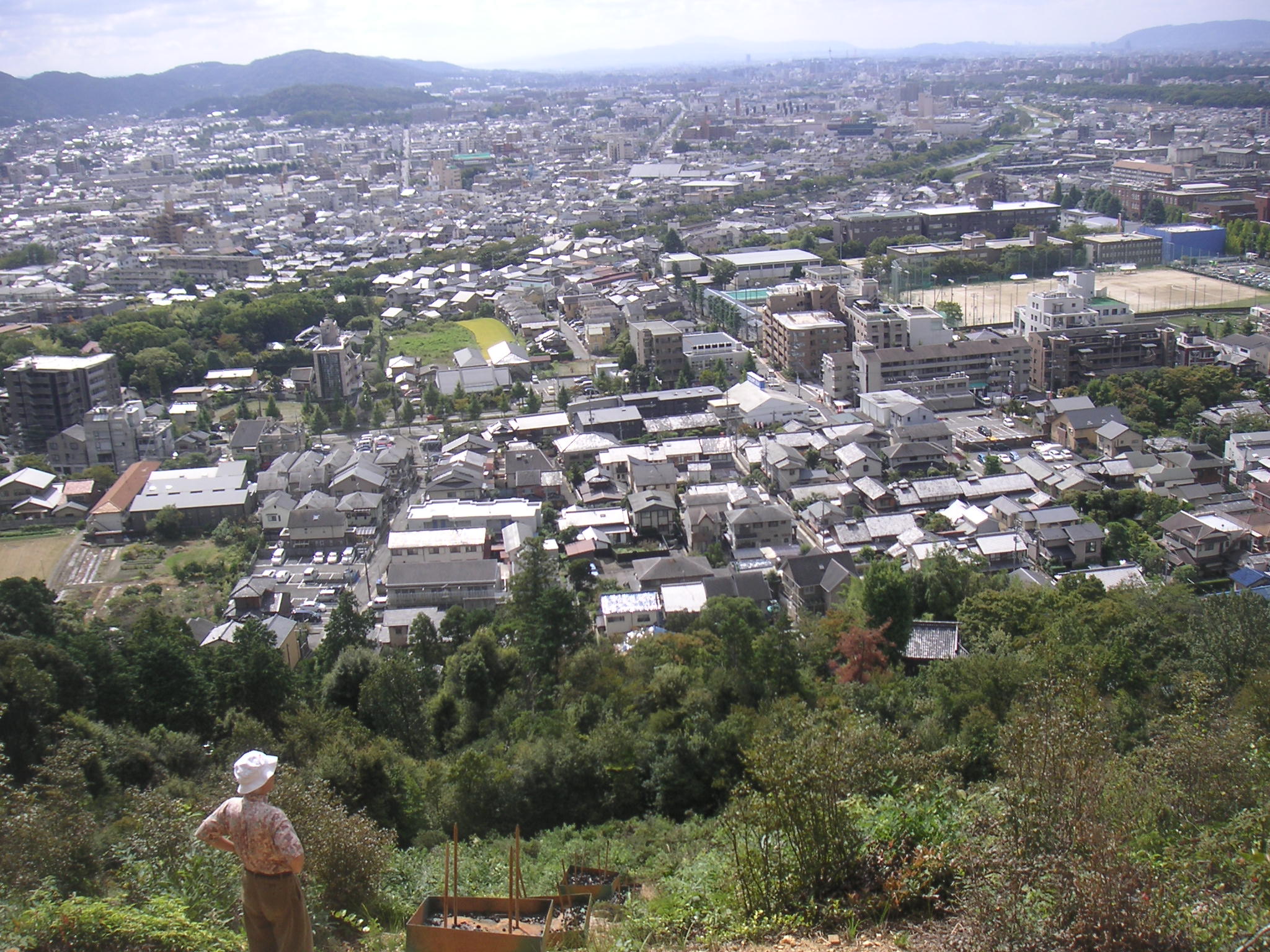
Kujo (Ninth Avenue) has various shops and is at the southern end of Toji (East Temple), where we will visit the market on Thursday. Further south from there is the city section called Fushimi, the home of a lovely mountain which provides a great overlook of the city and which houses Inari Taisha (Great Fox Shrine), one of the attractions we will visit.
Leave a Reply